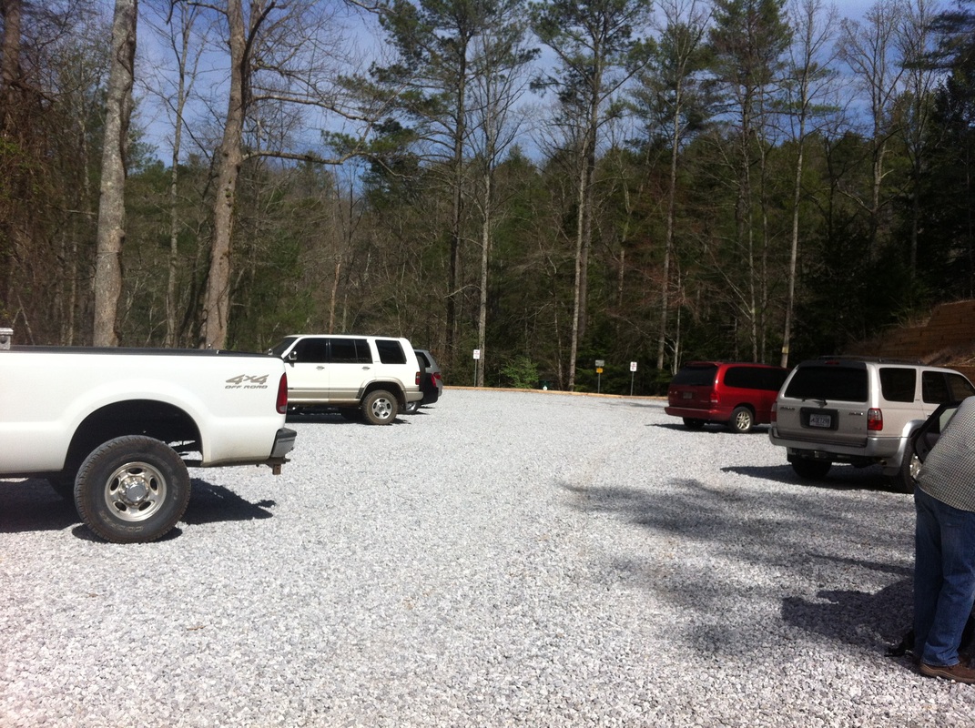
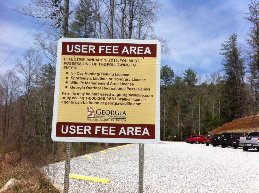
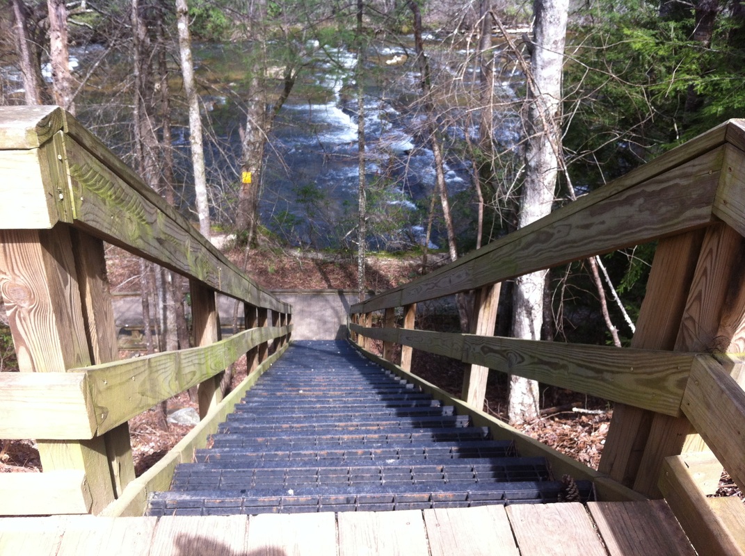
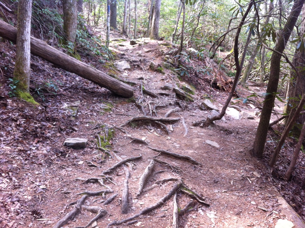
LOCATION: Hwy 53 Parking Area Dawsonville, GA No Phone LENGTH: 2.9 miles TYPE: Loop RANKING: Moderate to Strenuous ACCESS: 7 am - 10 pm USAGE: Moderate FEES: GORP pass MAPS: NO SURFACE: Compact soil with tree roots FEATURES: Stairs down to the trail and a short wheelchair accessible trail. Canoe ramp. COMMENTS: This is not a park but well maintained trails for enjoying PET FRIENDLY: Yes
NEARBY ATTRACTIONS
Amicalola Falls State Park Dawsonville Outlet Mall
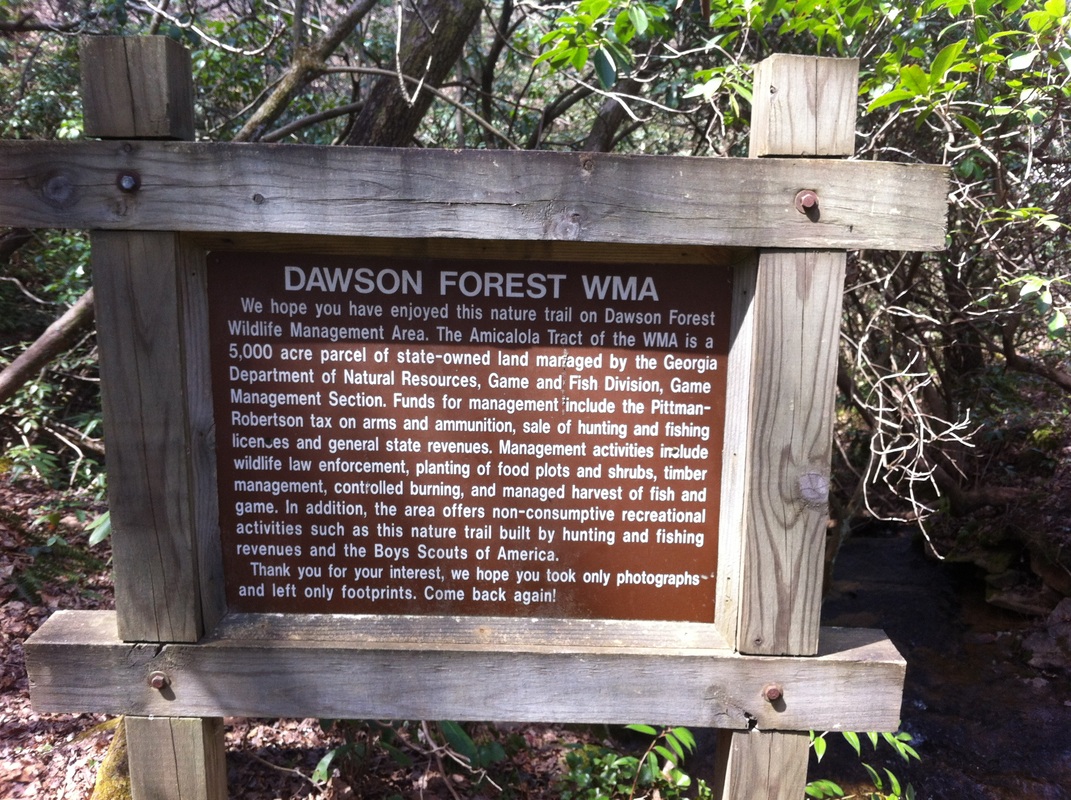
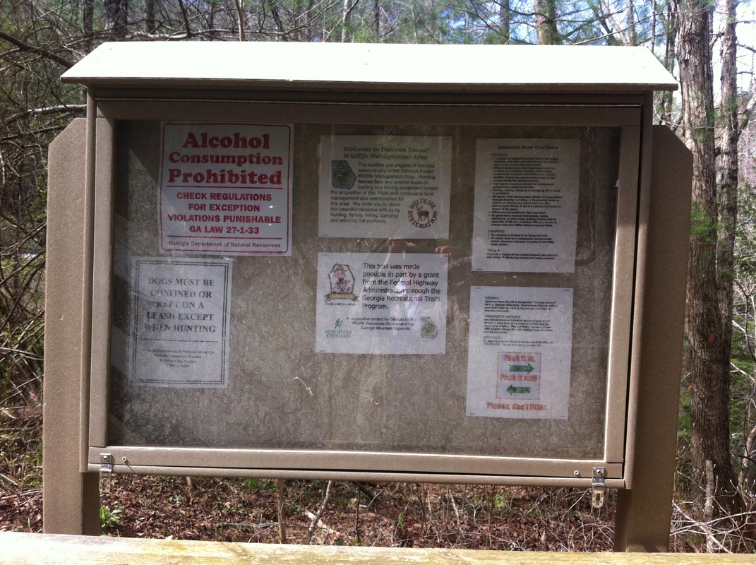
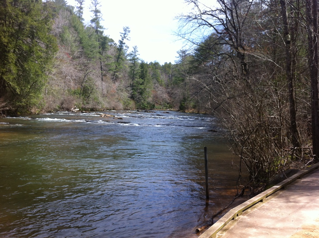
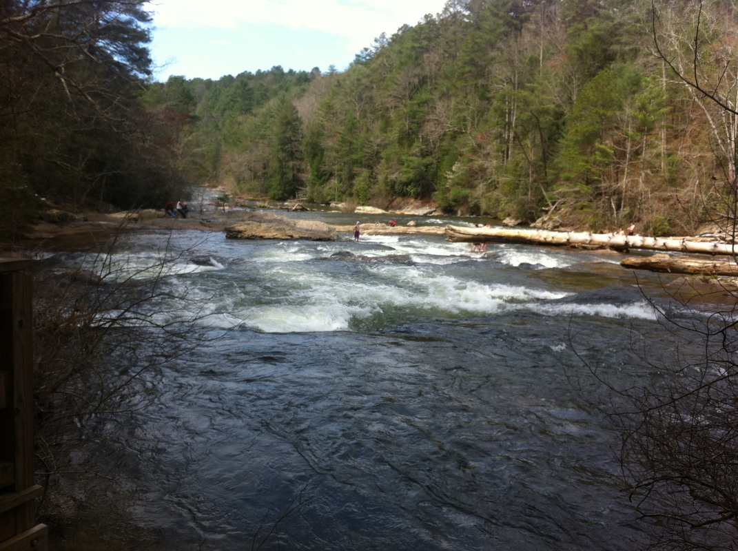
Amicalola River Trail is not a state park but a 2.95 mile loop trail located near Dawsonville, Georgia featuring a river and is primarily used for hiking or canoeing on the river. This trail is in a Wildlife Management Area and part of Dawson Forest Wildlife Management area. You need a hunting license with a wildlife management area stamp or you must purchase a Georgia Outdoor Recreation Pass (GORP). The Georgia Department of Natural Resources website will give more details.
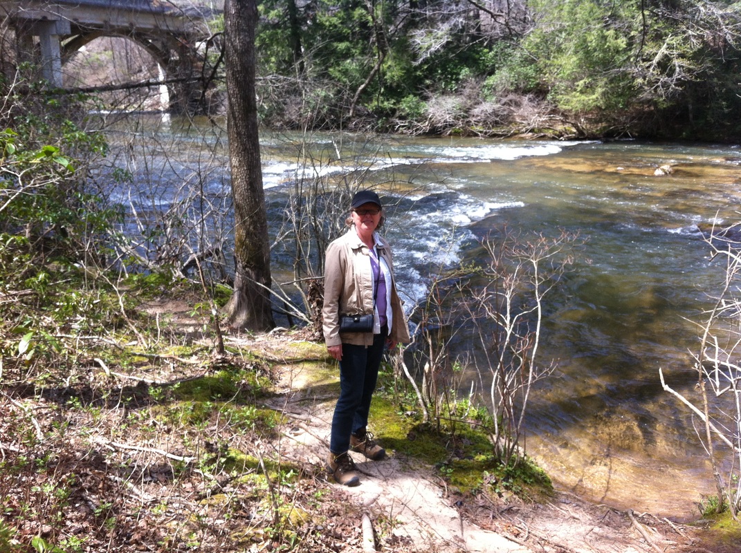
On the north end of the parking area is a put-in for canoeing and kayakers. There is a parking area on this end for handicap parking.
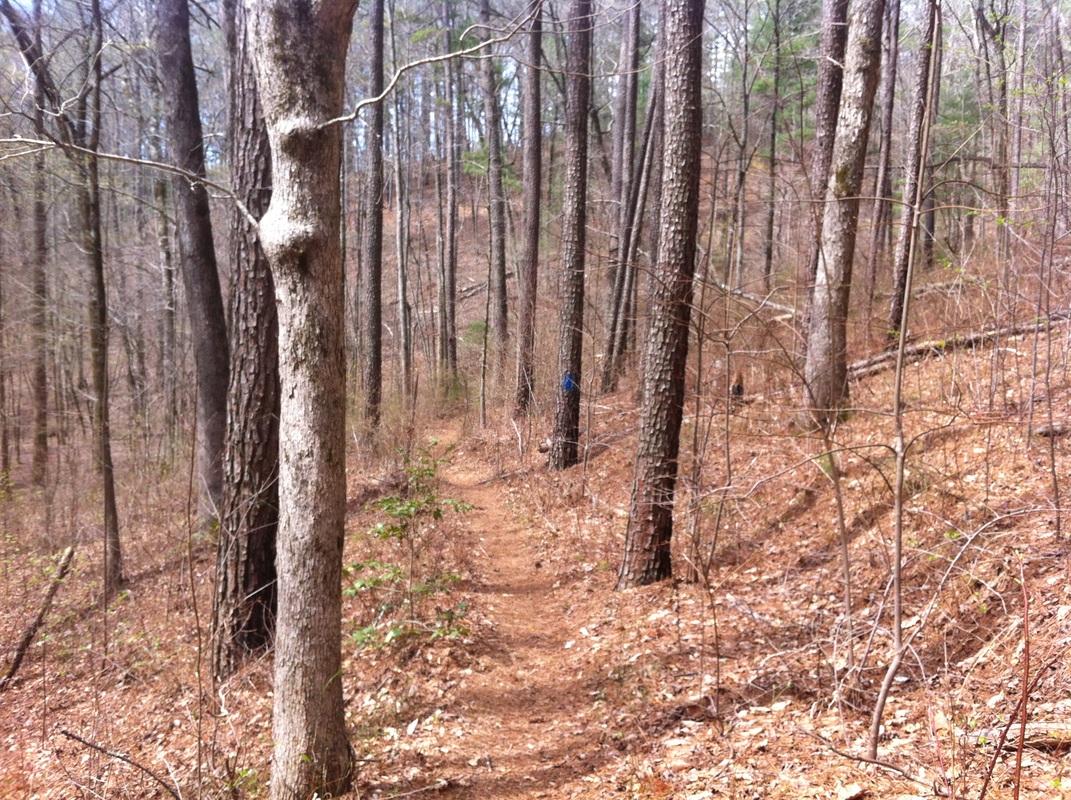
We hiked this trail in March, 2014 and it took us about 2 hours including our snack break. The hills gave us quite a work out and watch out for the many tree roots along the way. We began by climbing down the wooden stairs, turning left to walk along the river and then picked up the trail on our left. The trail winds through the north Georgia forest and rises for 1.7 miles. At the top of the elevation is a picnic table and trail dedication to Jason Funk, a 16 year-old Cumming Boy Scout who died in 1991. This trail was his Eagle Project.
The trail continues and begins its descent towards the road and has a brook running for a few feet before crossing on a wooden bridge. The trail ends across the road from the parking area.
DIRECTIONS FROM ATLANTA: Travel Georgia 400 north of the Outlet Mall in Dawsonville, take GA 53 west. In Dawsonville turn left, circle around the courthouse and continue west on GA 53. The road begins to descend into the Amicalola River Watershed. Watch for the entrance to Amicalola State Park on the right and continue on GA 53 just a short way. The trailhead and parking will be on your right, before the bridge over the river.