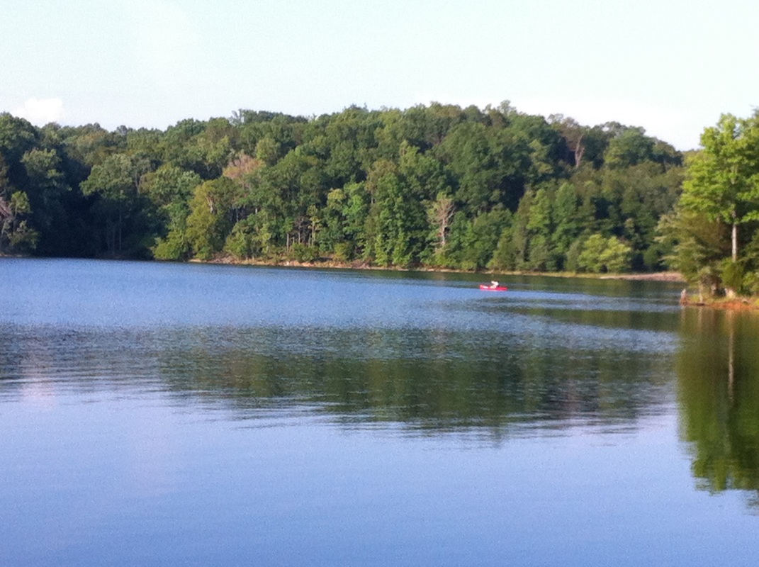
LOCATION: Croft State Park 450 Croft State Park Road Spartanburg, SC Park: 864-585-1283 LENGTH: 10 miles of multi-use trails 17 miles of Equestrian trails 16 miles of mountain bike trails 2 hiking trails Hiking is allowed on horse and bike trails. TYPE: Loops and one point-to-point RANKING: Easy to strenuous ACCESS: 7 am - 10 pm USAGE: Moderate FEES: $5 Parking Fee or purchase an annual ParkPass MAPS: At entrance SURFACE: Compact soil with tree roots FEATURES: Lake, shooting range, canoe rental & fishing, equestrian, and camping. COMMENTS: Great family park PET FRIENDLY: Yes
This park was once a farming community and old farmsteads can still be found throughout the area. There is still the foundation of a 4-story hotel and evidence of a bottling business.
Training facilities were needed during World War II and troops began training in this area in March of 1941. The camp was known as Camp Croft and eventually housed 250,000 soldiers. This facility was shut down after the war and opened as a State Park in 1949.
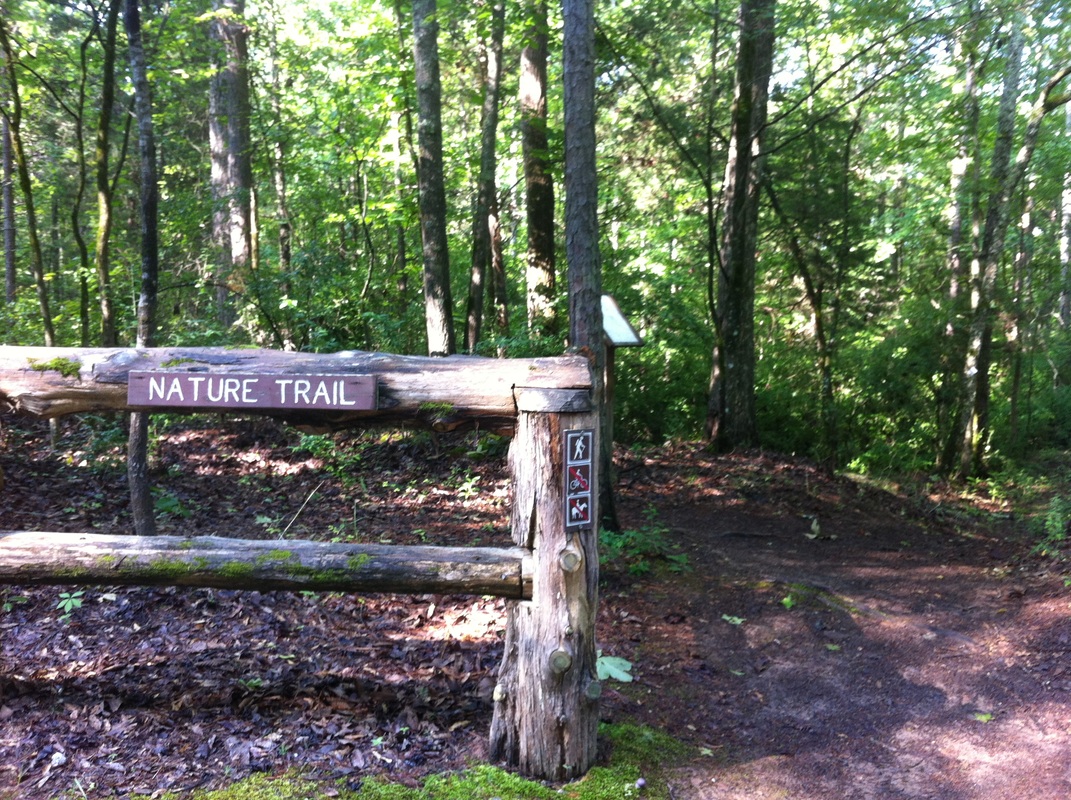
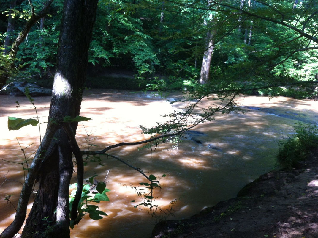
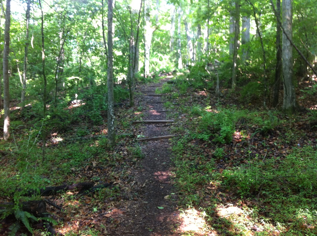
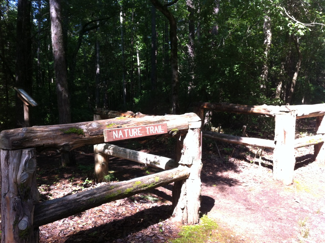
There are several great trails inside the park and we only hiked the shorter 1.5 mile Nature Trail. This trail is foot traffic only and the trailhead is on the dirt road that leads to the stables. We enjoyed seeing the remains of an old mill site and bridge crossing at the Fairforest Creek. For more information about camping here check out our RV Home On The Road Site.
The Foster Mill Trail is 6.5 miles and is open to equestrian and hiking. The Southside Loop is 9.7 miles and is open to Mountain biking and hiking. This trail is moderate to strenuous.
The longest trail is the Palmetto Trail and is 12.6 miles and open to hiking, mountain biking and equestrian. This trail connects the city of Spartanburg to the Glenn Springs area in southern Spartanburg County. The trail crosses Fairforest Creek with a 65 ft long “Advance America” expansion bridge. This is the longest foot bridge in the SC State Park Service. There are interesting remains of old homesteads along the trail.
DIRECTIONS: Located five miles southeast of Spartanburg off SC 56 on Dairy Ridge Road. From I-26: take exit 22 and travel east on Hw. 296 for approx 1 mile. Turn onto Hwy 295 until it intersects with Hwy 56. Turn right onto Hwy 56, then take a left at Dairy Ridge Road and follow park signs.