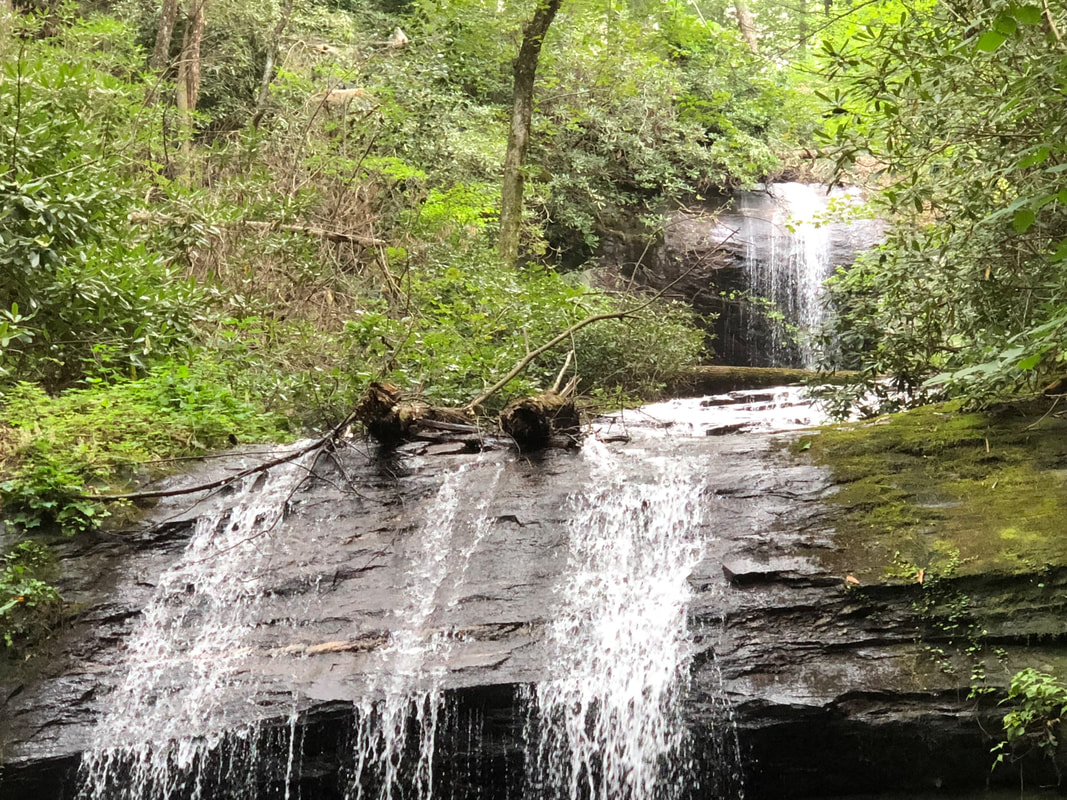
LOCATION: 18365 US Hwy 129 Cleveland, GA 30528 LENGTH: Upper Falls 1.5 miles Lower Falls 1/4 mile TYPE: In and Out RANKING: 8 ACCESS: 8 am - 10 pm USAGE: Moderate FEES: $4 parking fee MAPS: No SURFACE: Compact soil with some tree roots FEATURES: Beautiful falls PET FRIENDLY: Yes
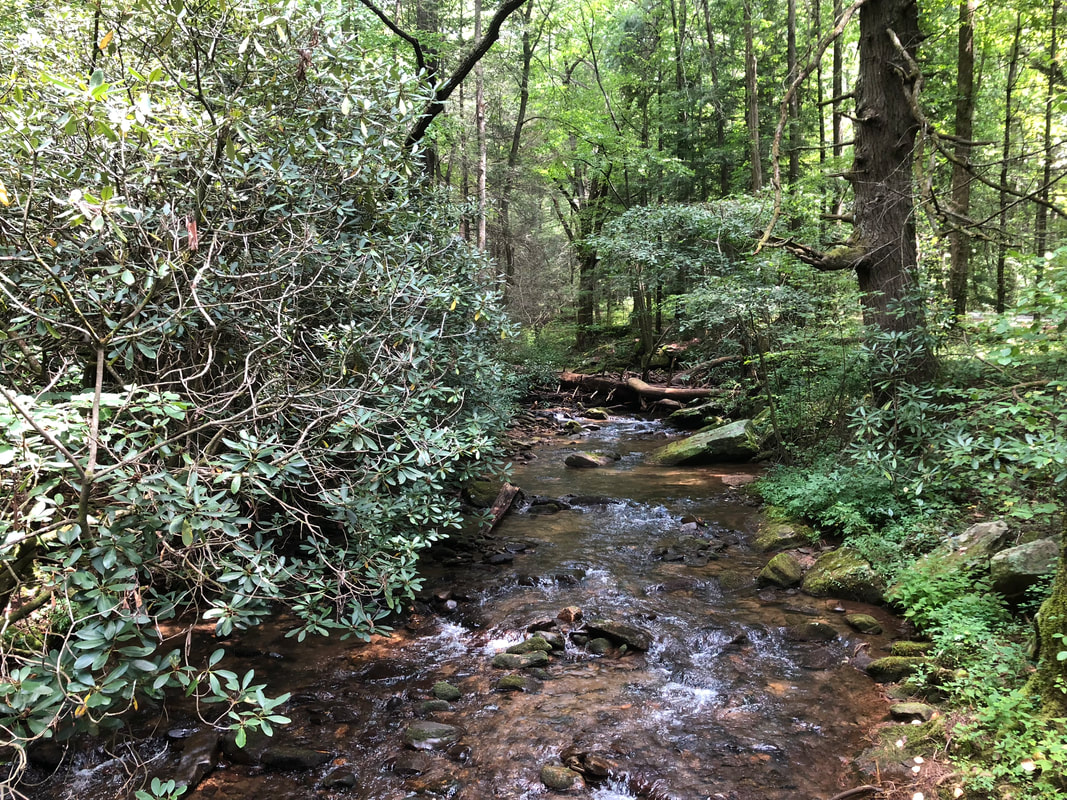
There are two short trails leading to waterfalls called the Upper Falls and Lower Falls. There is a day use area with paid parking just before the campground for parking to hike or fish in Frogtown creek.
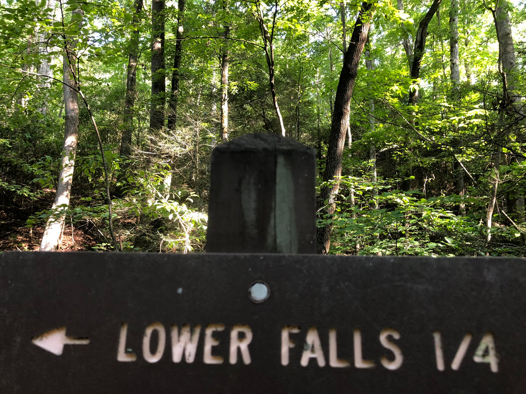
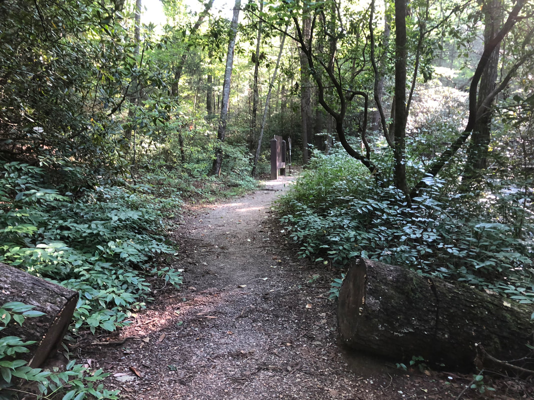
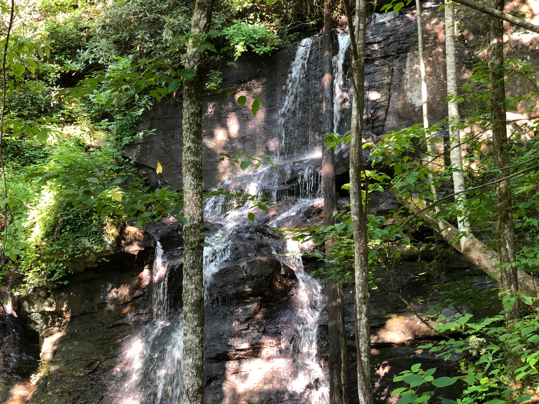
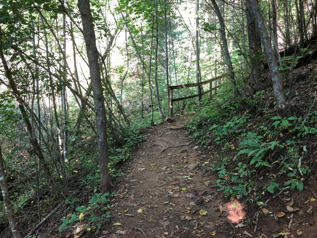
You begin the hike by walking through a shaded area where picnic tables and grills are available. You then proceed on a paved road (next to the campground) where you will come to a wooden bridge that crosses Frogtown Creek. At this point the trail splits. Turn right and you walk to the upper falls (1.5 miles) turn left to travel to the lower falls (1/2 mile). You will cross a wooden bridge just before reaching the multi-tiered upper falls.
We have camped here several times and reviewed the campground on our rvhomeontheroad site.
DIRECTIONS:
From Blairsville GA: Take US Hwy 19/129 south for 17 miles Entrance is on the right.
From Dahlonega GA: Take US Hwy 19/129 north for 18 miles Entrance is on the left.