LOCATION: 210 S. Broad St Winder, GA Park: 770-867-3489 Reservations: 800-864-7275 LENGTH: 18 miles of trails TYPE: Loops RANKING: Easy to moderate ACCESS: 7 am - 10 pm USAGE: Moderate FEES: $5 Parking Fee or purchase an annual ParkPass MAPS: At entrance SURFACE: Compact soil with tree roots FEATURES: Lake, small beach, canoe rental & fishing, restrooms COMMENTS: Great family park PET FRIENDLY: Yes
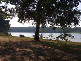
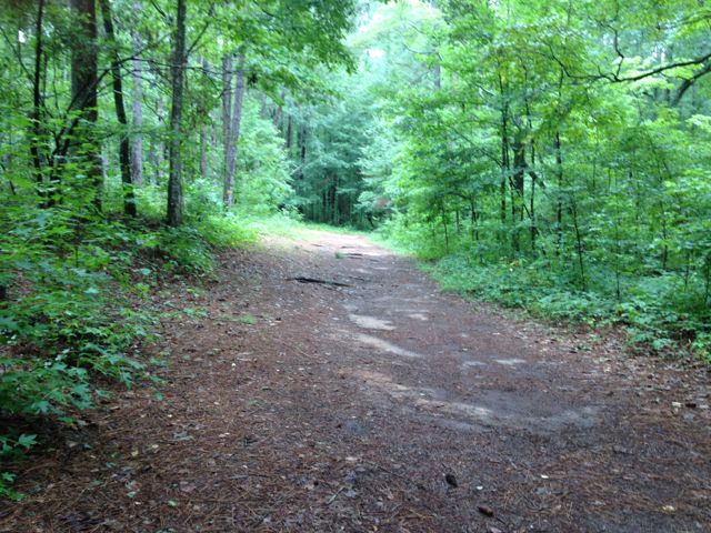
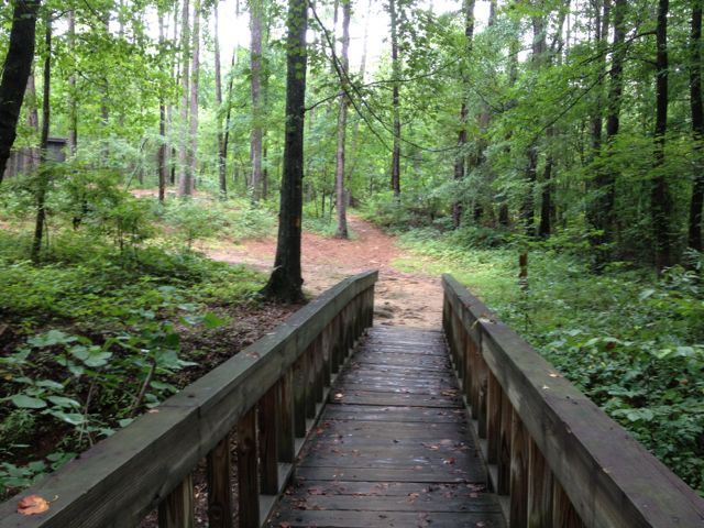
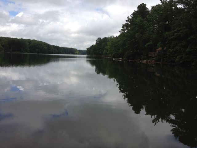
Fort Yargo is a beautiful state park operated by the Georgia Department of Natural Resources set on a 260-acre lake. Located in Winder between Atlanta and Athens, hikers and mountain bikers have 18 miles of trails. The lake offers swimming, fishing and boat ramps.
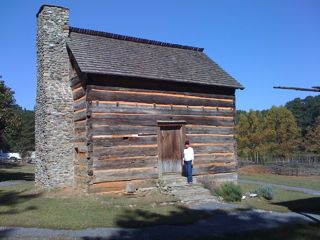
The park features a log fort built in 1792 by settlers for protection against Creek and Cherokee Indians.
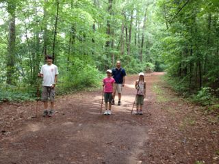
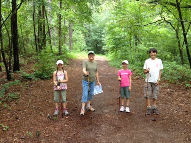
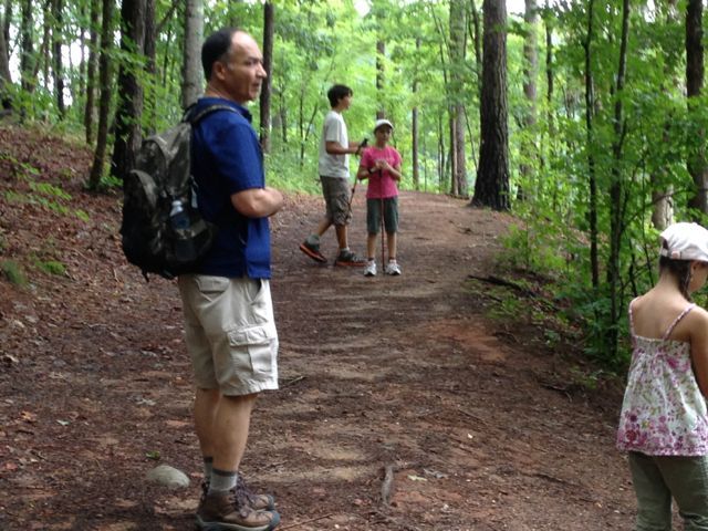
We hiked around the lake in October, 2010 and returned in August, 2011 to hike again with friends. We camped and hiked here in July, 2012 with our nephew and nieces. The yellow Inner Loop Recreational Trail is 7 miles around the lake. The Birdberry Nature Trail is wheelchair accessible. Mike and I have returned many times since 2012 to camp and hike at this wonderful state park.
There is an excellent 13 mile mountain bike trail with beauiful views that is rated as intermediate. There are no fast downhills or extremely steep uphills but I understand bikers really enjoy this trail.
DIRECTIONS FROM ATLANTA:
Park is located one mile south of Winder on GA Hwy 81
or
I-85 N to right on GA-316 (exit 106). Travel on GA-316 toward Athens for approx 22 miles. Turn left onto GA-81/Charles S Floyd Road and travel 3.1 miles.