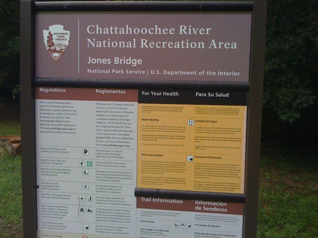
LOCATION: 9101 Barnwell Road Johns Creek, GA LENGTH: 5 miles TYPE: Loop RANKING: Easy to moderate ACCESS: Dawn to dusk USAGE: Moderate FEES: $3.00 MAPS: None SURFACE: Compact soil FEATURES: River COMMENTS: Hiking, fishing PET FRIENDLY: Yes
This is part of the Chattahoochee National Park area and is spread over a 48-miles section of the Chattahoochee River from Lake Lanier Dam in Forsyth County to Peachtree Creek near downtown Atlanta. There are 16 different areas or units.
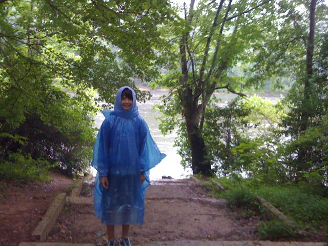
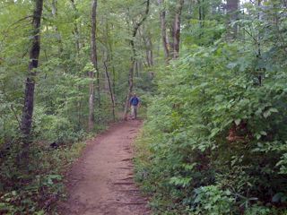
We hiked the Jones Bridge Unit off of Barnwell Road and it was quite scenic with the river and woods around us. The hike was fairly easy with a few moderate hills.
DIRECTIONS FROM ATLANTA:
Take I 85 N to exit 99 and turn left on GA 140, Jimmy Carter Blvd. Travel 3.7 miles. Continue STRAIGHT at Holcomb Bridge Road on GA 140 West Ttravel 2.9 miles. Turn right onto Barnwell Road Travel 1.6 miles. Turn right at entrance to Jones Bridge.
UTM TRAIL HEAD COORDINATES UTM Zone (NAD28) 16S Easting 0754964 Northing 3765484