LOCATION: Buford Dam Road Buford, GA 770-945-9531 LENGTH: 3.8 miles TYPE: Loop RANKING: Moderate ACCESS: Open year-round USAGE: Moderate FEES: None MAPS: None SURFACE: Packed soil FEATURES: Restrooms, playground, picnic tables COMMENTS: Scenic views of Lake Lanier Buford Dam PET FRIENDLY: No pets
NEARBY ATTRACTION
Lake Lanier Park
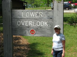
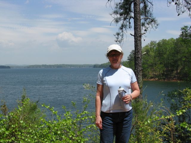
Lower Overlook is a small park and the beginning of the Laurel Ridge Trail. We started hiking on the trail behind the restrooms and across the street.
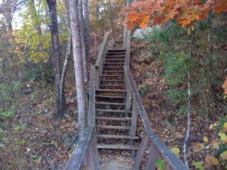
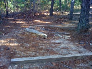
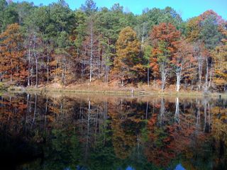
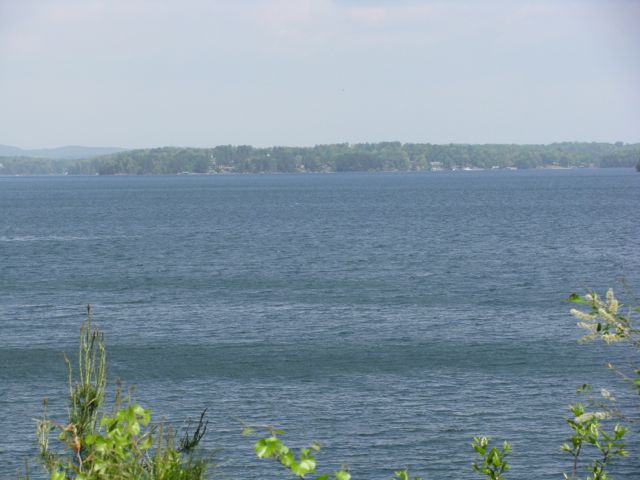
The trail explores the southern end of Lake Lanier and descends into the Chattahoochee River Valley with many rocks and tree roots on the path. Take time to climb the stairs to the overlook for a view of the Chattahoochee River basin and Buford Dam.
This is one of three trails known as Laurel Ridge Trail. The others are at Lake Allatoona and Smithgall Woods State Park.
The U.S. Army Corps of Engineers built Lake Lanier in 1950 to meet the needs of water and electrical power for Atlanta.
DIRECTIONS FROM ATLANTA:
I 85N to GA 400 North to Exit 14 (GA 20, Buford, Cumming). At the end of the ramp, turn right onto Buford Rd Turn left onto Sanders Rd Turn right onto Buford Dam Rd and travel 4.13 miles Lower Overlook Park will be on the left