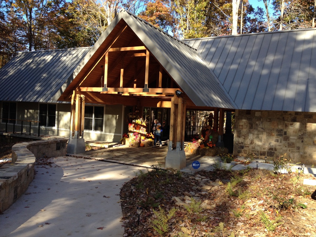
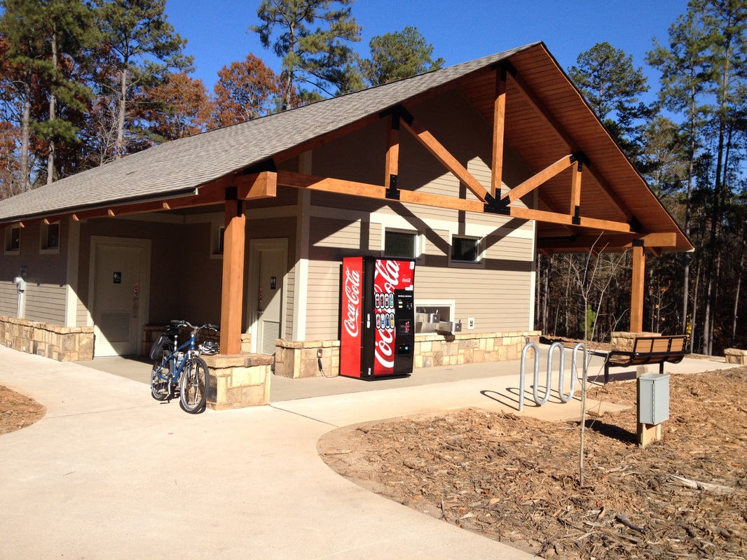
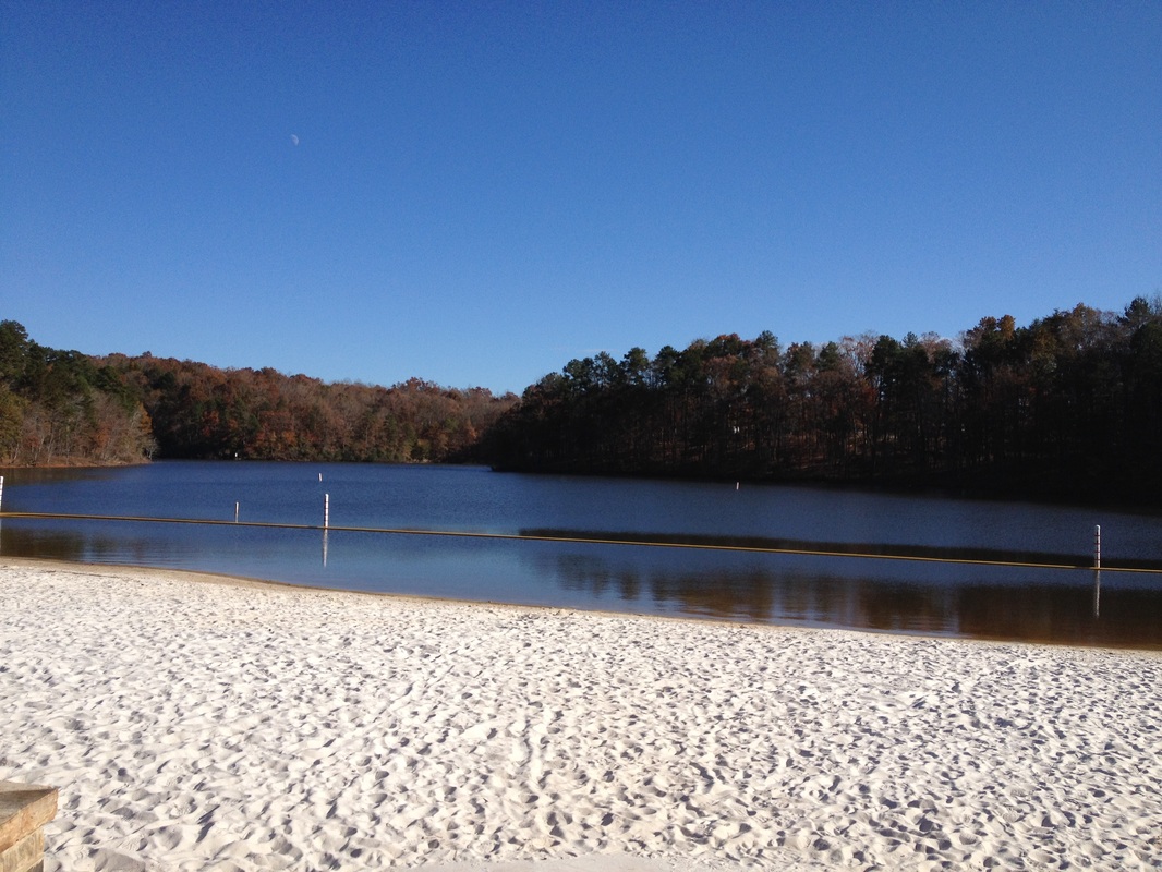
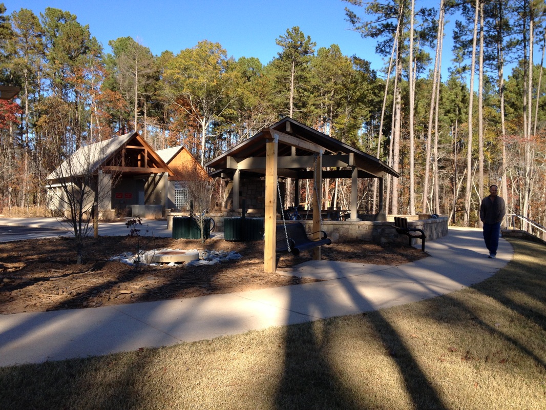
LOCATION: 5000 N. Browning Bridge Road Gainesville, GA Reservations: 800-864-7275 Park: 678-450-7726 LENGTH: 1.5 miles of paved multi-use trail and 2-mile hiking trail TYPE: ln and Out RANKING: easy ACCESS: 7 am - 10 pm USAGE: low to moderate FEES: $5 Parking Fee or purchase an annual ParkPass MAPS: At Visitor Center SURFACE: compact soil with tree roots FEATURES: lake, small beach, fishing, restrooms, picnic, playground and boat ramp COMMENTS: great family park PET FRIENDLY: Yes
Don Carter is Georgia's newest state park situated on the north end of the Lake Lanier reservoir. This park is named in honor of real-estate executive Don Carter who served on the Georgia Department of Natural Resources board for 29 years and worked to establish Lake Lanier's first state park.
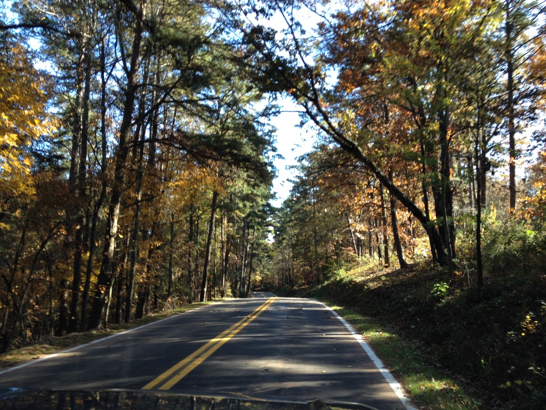
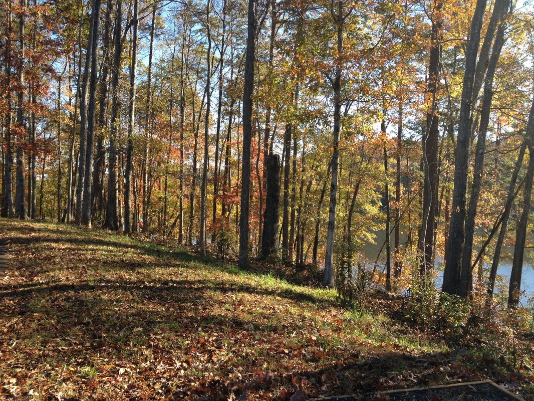
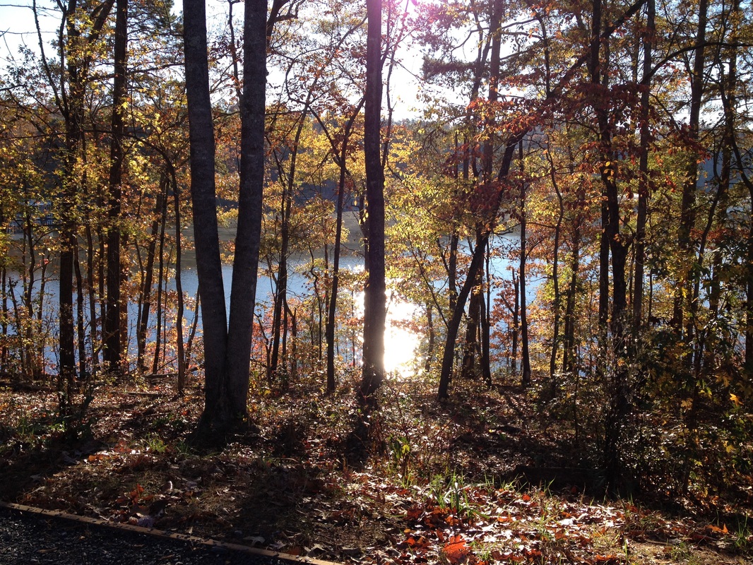
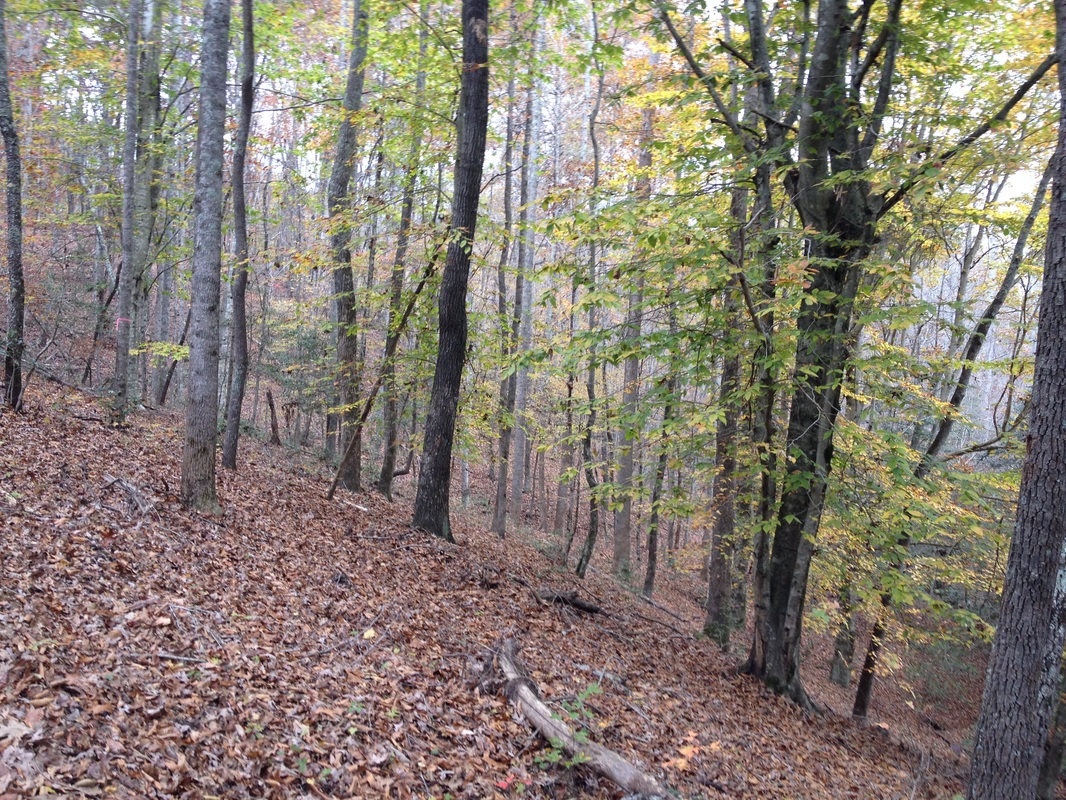
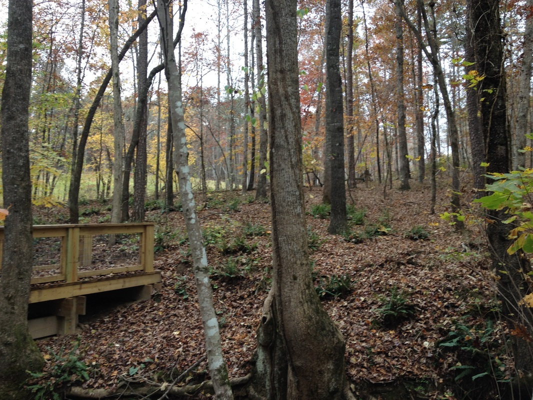
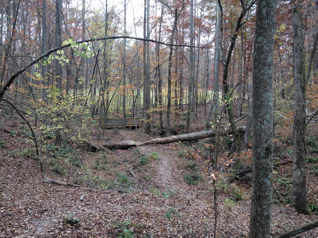
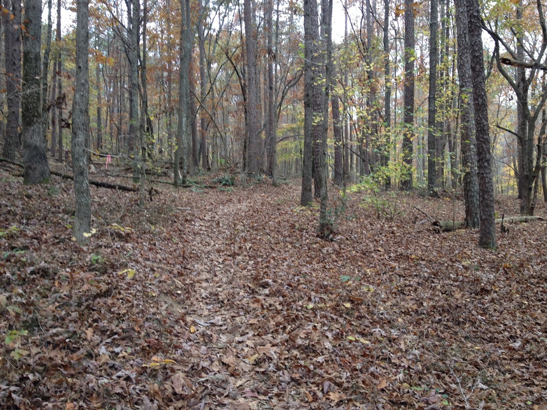
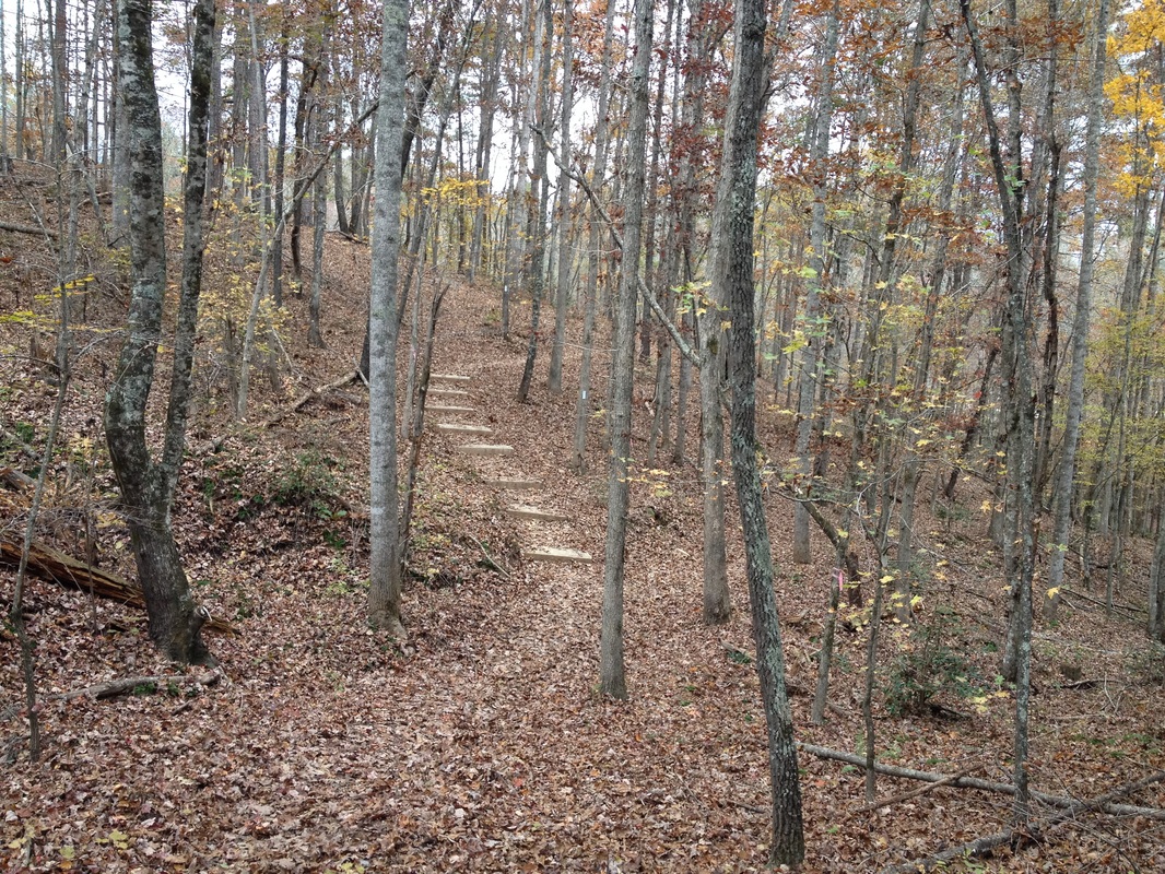
We hiked here in November 2013 while camping. This is a great family friendly park and the hike was gorgeous with the leaves changing and the view of the lake. See our camping experience at RV Home on the Road.
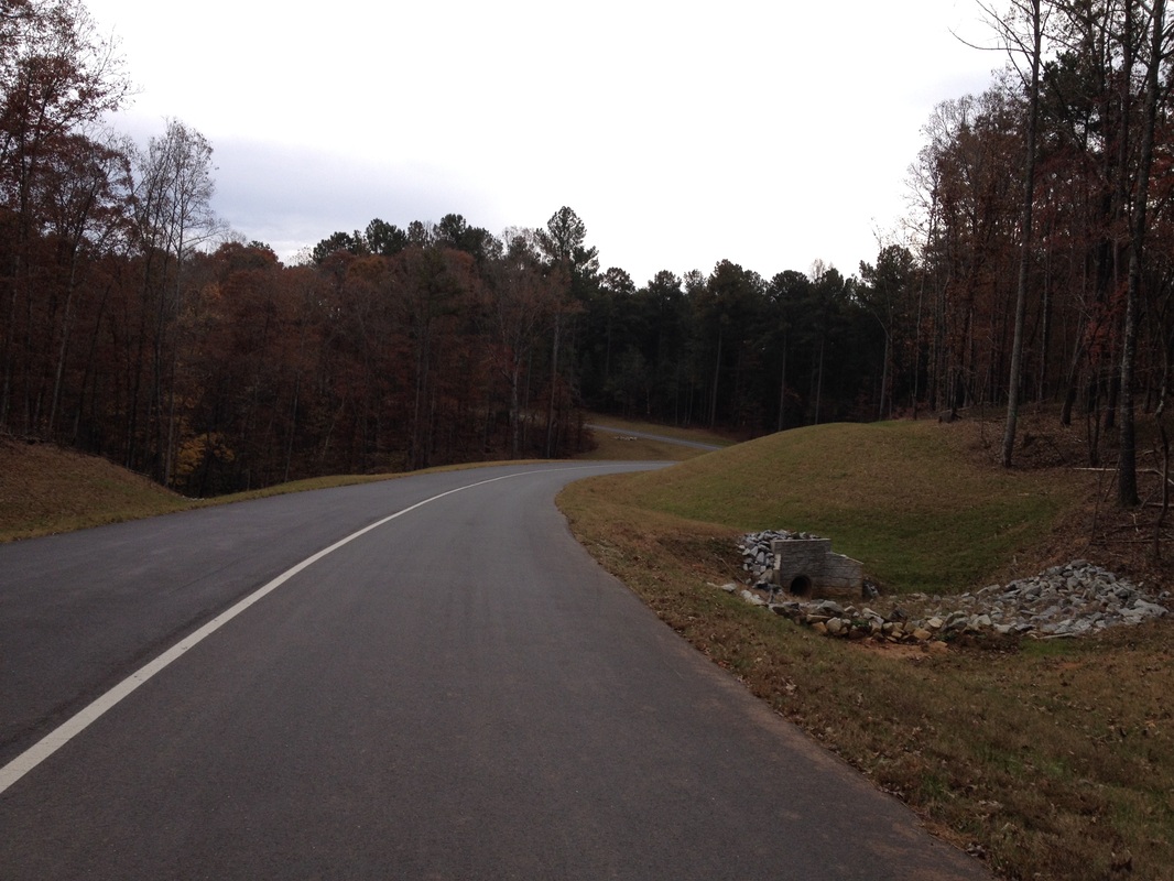
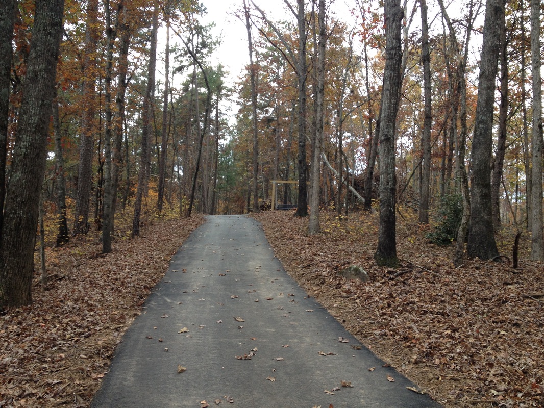
The biking is great here too. The road around the park is nicely paved and there is also a short paved multi-use trail.
The park offers several choices for overnight stays. The two-bedroom cabins are on wooded hillsides and all face the lake. One campground is designed specifically for RV's and a primitive camping area for tents and hammocks. The campground is gated with an access key-code for safety.
DIRECTIONS FROM ATLANTA:
Located northeast of Gainesville, on the north side of Lake Lanier. Travel I-85 N toward Greenville Merge onto I-985 N/GA-365 N via EXIT 113 on the left toward Gainesville. Take the GA-369 exit, EXIT 24, toward US-129/Jesse Jewell Pkwy/New Holland. Turn left onto Jesse Jewell Pky NE/GA-369 W. Travel 0.7 miles Turn right onto Limestone Pky NE/US-129 N/GA-11 N. Travel 1.6 miles Turn right onto Clarks Bridge Rd/GA-284. Travel 6.2 miles Turn right onto N Browning Bridge Rd. Travel 1.4 miles At the "Y" take the left fork and continue for one-half mile to the park entrance. The brown Don Carter State Park sign will be at the "Y"